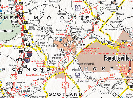
The 2021-22 North Carolina State Transportation Map is now available to the public free of charge.
The State Transportation Map, first published in 1916, is a popular and useful travel resource. Updated every two years, it features North Carolina’s extensive highway system as well as important safety information.
The map is funded and produced by the N.C. Department of Transportation. It is distributed by VisitNC, a unit of the Economic Development Partnership of North Carolina.
The cover of the new map features some of North Carolina’s most scenic views, including the Blue Ridge Parkway in Maggie Valley, the Greensboro skyline and Sunset Beach.
The new map can be ordered online at VisitNC.com/StateMap or by calling 1-800-847-4862 (VISIT NC). Maps are also available at welcome centers, rest areas and NCDOT offices across the state.
The state map is NCDOT’s most popular publication, with 1 million copies having been printed this year.
North Carolina has one of the largest highway systems in the nation, and the new map details the 107,643 miles of public roads that span the state. That includes more than 81,000 miles of state-maintained roads.
A full-size PDF of the map is also available online.


