
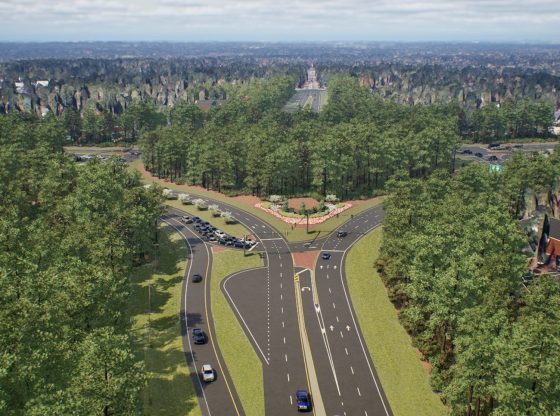
To preserve history and improve safety, a new design has been unveiled for a well-known intersection in Moore County, said the North Carolina Department of Transportation (NCDOT).
The NCDOT Division Engineer, Reuben Blakley, presented the updated design for the Pinehurst traffic circle at the most recent Sandhills Metropolitan Planning Organization meeting.
Video courtesy of SMPO.
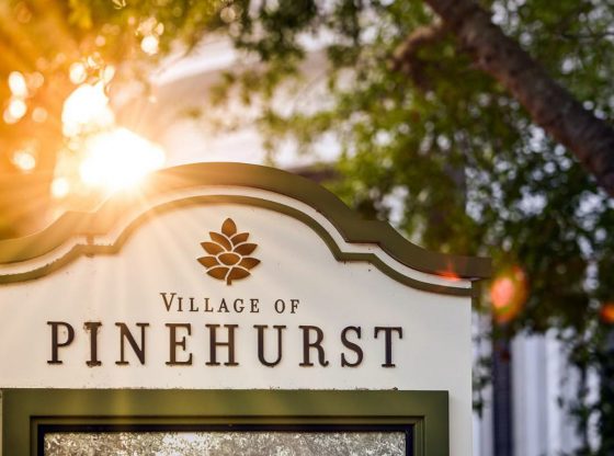
This design is the culmination of years of collaboration between NCDOT and local communities, aimed at improving traffic flow and reducing accidents at this historic intersection. The traffic circle, located within a National Historic District, serves as a key gateway to the Village of Pinehurst and is facing increasing traffic demands.
Initiated in 2013 as STIP project, the project addresses safety and operational concerns. In the summer of 2024, NCDOT hosted public meetings in Aberdeen, Pinehurst, and Carthage to share the proposed continuous flow intersection concept. Over 800 people attended these meetings, and more than 600 comments were received, which significantly influenced the final design. Through these over 600 comments, NCDOT listened to the community and made several modifications, according to NCDOT.
The new plan preserves the character of the traffic circle while accommodating future traffic volumes projected to reach 80,000 vehicles per day by 2050 at an acceptable level of service. It significantly reduces right-of-way impacts and tree removal while enhancing efficiency, all at a lower cost, according to NCDOT.
“This design incorporates community input and balances historic preservation with future traffic demands,” stated Blakley.
Construction is expected to take place between the 2029 and 2035 U.S. Opens and will be coordinated with the widening of U.S. 15-501 north of the circle to minimize disruptions.
Feature photo: Rendering of the redesigned traffic circle in Pinehurst. Photo via NCDOT.
To sign up for the free Sandhills Sentinel breaking news and weekly e-newsletter, please click here.
Contributed article.


Comments
Comments are closed.