The 2019-20 North Carolina State Transportation Map is now available free of charge.
The map is funded and produced by the N.C. Department of Transportation. It is distributed by VisitNC, a unit of the Economic Development Partnership of North Carolina.
The cover of the new map features North Carolina’s seasonal scenery, including the canopy of trees at the top of Cataloochee Ranch Mountain in the fall and waves crashing on the beach near Surf City.
The new map can be ordered online at visitnc.com/statemap or by calling 1-800-847-4862 (VISIT NC). Maps are also available at welcome centers, rest areas and NCDOT offices across the state.
First published in 1916 and updated biennially, the state map is NCDOT’s most popular publication, with 1.25 million copies in this year’s initial printing.
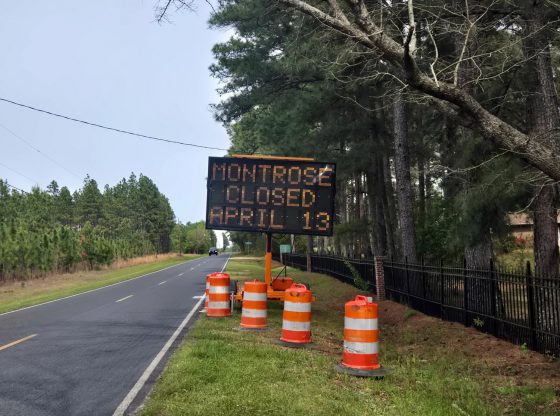
North Carolina has one of the largest highway systems in the nation and the new map details the more than 106,975 miles of public roads that span the state. That includes nearly 80,000 miles of state-maintained roads.
A full-size PDF of the map is also available online.
Contributed